
價格:免費
更新日期:2018-09-20
檔案大小:4 MB
目前版本:2.1
版本需求:需要 iOS 8.0 或以上版本。與 iPhone、iPad 及 iPod touch 相容。
支援語言:英語
This is a powerful iOS map application which lets you create routes and calculate distances with simple finger gestures by dropping pins directly onto the map.
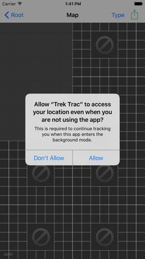
There is a "track me" mode which initiates a track line on your map to follow you wherever you go. You will be asked for a Trek Name when you initiate a tracking mode. You must "Stop Tracking" at the end of your Trek and save or erase your data to preserve battery power.
There are 3 types of tracking modes, namely:

1) Walk/Run mode
2) Drive mode
3) Fly mode
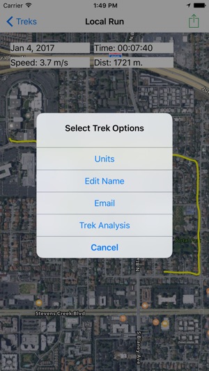
You can save your tracking results to a tableview for future reference and you can share them through email with others.
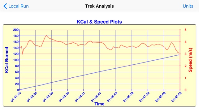
There is powerful "Analysis" feature which plots the details of your trek on a graph for your review. These graphs can be shared by email as well.
In the "walk/run" mode you will get a graph which shows the speed of your walk or run and your calorie burn throughout the walk/run. This is great for health, fitness and exercise monitoring. In this mode you will also be asked for your weight, age and gender to make the calorie calculations more accurate. A default value of 150 pounds, 35 years of age and gender of male is automatically applied which you can simply edit when you enter your trek name.
In the "drive" mode you will see a graph showing your speed and elevation throughout your trek. This will nicely show all of your slowing down for intersections and higher speeds on the freeways. The elevation is useful to determine how high you went when driving in mountains or hills and for estimating terrain.
For pilots, the "fly" mode will show a graph of your ground speed and altitude throughout your flight. This is really useful to let you see your actual cruise, approach and touchdown speeds and altitudes. You can assess your ability to maintain a certain altitude during a flight. The actual elevation of the airport will match your altitude on touchdown. This would be the lake, river or ocean elevation for a float plane.

支援平台:iPhone, iPad